The Burbage Map does not work inside Facebook.
Please open this page in your usual browser.
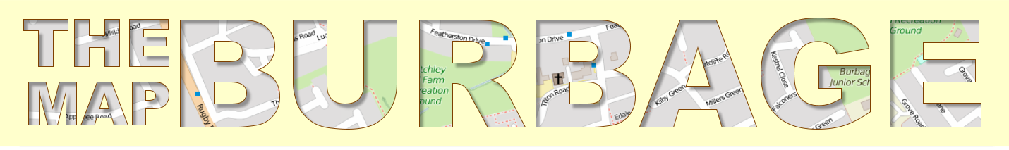
The Burbage Map will help you find your way around Burbage Civil Parish in Leicestershire. It shows the parish boundary, roads, paths, streams and pools.
As the map is developed you will be able to add pictures, notes, trails and other information to it.
When you are using the map use the  button to show the help page.
These are the symbols and buttons on the map...
 |
The Burbage boundary |
| Your current location | |
 |
Show the home/information page |
|
Show this help page |
 |
Zoom the map in to a closer view |
 |
Zoom the map out to a bigger view |
 |
Centre the map on your current location |
 |
Centre the map on Burbage |